

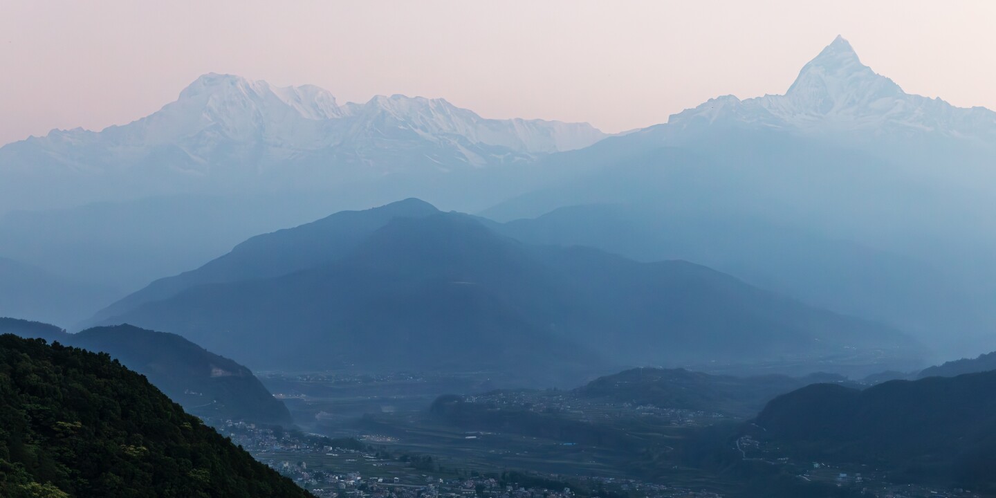
As dawn’s twilight descends on Pokhara, I point to a large shadow towering over the city’s thousands of tiny twinkling lights and ask what the mountain’s name is. “That’s not a mountain, it’s a hill,” says my Nepalese guide, Ravina, referring to Odane Hill, at 8,500 feet. “Really?” I ask. According to Rakesh Shah, owner of Mystic Mountains Adventures in Kathmandu, to earn the name, the peak must be covered in snow year-round, which happens roughly above 18,000 feet. I have to admit, that makes sense. At nearly 24,000 feet, the massive silhouette of Annapurna South’s snow-capped peak dwarfs Odane. And yet Annapurna is smaller than Everest, the tallest mountain in the world. Is that really true? The answer depends on your perspective.
How are mountains measured?
Measured above sea level, Everest is the clear winner, at 29,032 feet and steadily rising, says Lynn Moorman, a professor of earth and environmental sciences at Mount Royal University in Calgary. The Indian and Eurasian plates that form the Himalayas continue to collide, slowly but surely uplifting the continent’s land masses, Moorman says. [tectonic plates] “Move as fast as your fingernails grow.” But while Everest is growing taller, it is also being chipped away by natural phenomena, earthquakes and avalanches.
Using a different method of measurement, the United States can claim the title of the tallest mountain in the world. Mauna Kea, a dormant volcano on the Big Island of Hawaii, stands at 13,796 feet above sea level. But if you take into account the 19,700 feet the volcano extends to the ocean floor, Mauna Kea’s total length comes to a whopping 33,500 feet, considerably taller than Mount Everest.
Or, if you measure it another way, South America is home to the world’s tallest mountains. If you calculate the distance from the center of the Earth, Chimborazo, located at 20,564 feet above sea level near the equator in Ecuador, takes top honors. That’s because the Earth is more of an ellipsoid than a perfect sphere. If you gently squeeze the north and south poles of a small, soft ball, the ball will bulge from east to west, or toward the “equator.” “The distance from one point on the equator to the point directly opposite is longer than the distance from the north pole to the south pole,” explains Moorman. “So if you look at just that point, [Chimborazo] It will be the mountain farthest from the center of the Earth and taller than Mount Everest.
How was Everest measured?
Of course, the tools used to measure have changed over the decades, which has affected the official height. Using trigonometry, the Survey of India measured the elevation of the peak (XV) at 29,002 feet in the 19th century. The peak was later named after Sir George Everest, a former Surveyor General of India. However, another survey made by India in 1954 measured it at an additional 26 feet higher. The most recent measurements of Everest, made by Nepal in 2019 and China in 2020, have increased the mountain’s height by another 4 feet, for a total of about 29,032 feet, which is the current “official” height.
On a related note, the Appalachian Mountains, which formed 300 to 500 million years ago, may have once been as tall as Everest or taller. The 2,000-mile mountain range stretching from Canada to Alabama has taken many more years to be sculpted by natural forces to its full height. In 100 million years, Everest may be just a hill.