

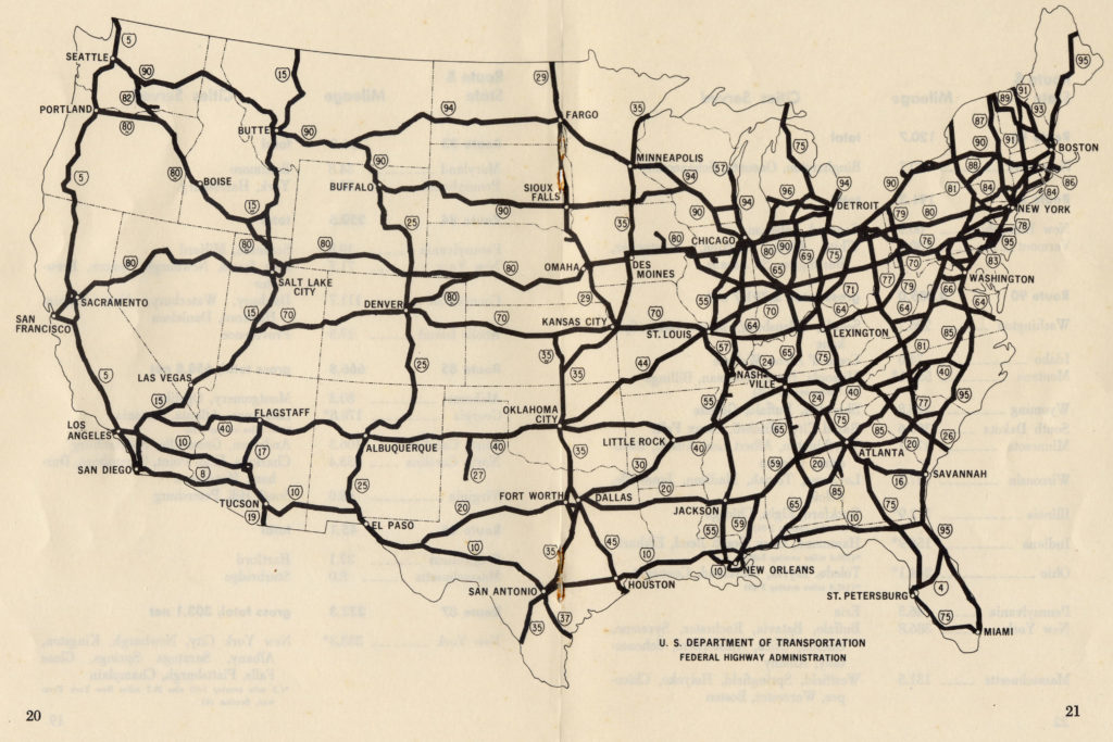
This map shows interstate highway routes as of October 1970. Highway construction in the United States displaced many black communities. Now, some black activists are using maps to highlight hidden parts of history.Photo from Wikimedia Commons
When historian Carter Woodson founded “Negro History Week” in 1926, which became “Negro History Month” in 1976, he wanted to not only celebrate notable black figures in history, but also celebrate white Americans. sought to change how all African Americans were viewed and valued.
However, many issues in Black American history can be obscured by a focus on famous historical figures and other important events.
read more: How infrastructure has historically promoted inequality
Our research explores how African American communities struggling for freedom have long used maps to protest racism and survive while affirming the value of black lives. We are investigating.
We have been working on Living Black Atlas, an educational initiative that highlights the neglected history of Black cartography in America. This illustrates the creative ways that Black people have historically used mapping to record their stories. Today, the community uses “restorative mapping” as a way to tell the stories of Black Americans.
Maps as a visual storytelling method
Most people think of maps as a useful tool for getting from point A to point B, or for exploring places or planning trips, but in reality, Every map tells a story. Traditionally, most maps have not accurately reflected the stories of Black people and Black places. For example, interstate highway maps did not reflect the reality that in most U.S. cities, thousands of black people were forced out of the cities as major roads were built. .
Like many marginalized groups, Black people have used maps as a visual storytelling method to “fight back” against oppression. They have also used maps to enliven and dignify Black experiences and histories.
read more: Why the battle over Louisiana’s voting map could impact national elections
An example of this is the NAACP’s lobbying efforts for federal anti-lynching legislation in the early 20th century. The NAACP mapped the location and frequency of lynchings to show how widespread racial terror was among Americans.
Another example is the work of the Student Nonviolent Coordinating Committee to document racism in the American South in the 1960s. The SNCC Research Division’s research on maps and racism played a vital role in planning the civil rights movement. SNCC created traditional county-level maps showing income and education inequalities and distributed them to activists in the field. The organization has also developed a creative “network map” that reveals how power structures and institutions support racism in economic and political ways. These maps and reports may identify areas where protests are occurring urgently.
Most recently, artist and activist Tonika Lewis Johnson created the Folded Map Project. The project brought together corresponding addresses on racially separate sides of the same street to show how racism reshaped the city of Chicago. She photographed the “twins on the map” and interviewed people living at the pair’s addresses to show the disparity. This project brought residents of Chicago’s north and south sides together to talk to each other.
Maps for restorative justice
Restorative mapping is an important part of the Living Black Atlas. This helps to make visible the marginalized and forgotten experiences of Black people.
An important example of restorative mapping work comes from Honey Pot Performance, a Black feminist collective that contributed to the creation of the Chicago Black Sociocultural Map (CBSCM). This digital map traces the experiences of Black Chicagoans from the Great Migration to the rise of electronic dance music in the city. The map also includes historical records and music posters, as well as descriptions of important people and their music venues.
CBSCM Maps engages Black Americans in this effort, telling Chicago’s story through a series of artistic movements that highlight African Americans’ connection to the city.
After years of gentrification and urban renewal programs that pushed Black people out of the city, the project is helping to digitally remember the neighborhood. It also sparks a broader discussion about the history of Black Chicago.
regain a sense of place
The key idea behind repair mapping is the act of returning something to its previous owner or state. This ties in with the broader restorative justice movement, which seeks to address historical injustices by documenting past and present injustices through perspectives that are often ignored or forgotten.
read more: UN report highlights persistent global discrimination against people of African descent and calls for reparations
CBSCM maps are not traditional paper maps. It includes many of the things you’d find on a map like this, such as road systems and political boundaries, but it also covers many things you’d find on a map like this, including novel writing, the Chicago Renaissance, art, music, and even food, family life, education, Also includes links to cultural representations. Politics that records the hidden history of black life in the city. This map includes links to specific historical documents, socially meaningful locations, and people’s lives that tell the story of Black Chicago.
Therefore, this map helps highlight how this geography remains in Chicago in archives and people’s memories. This mapping aims to restore a sense of place through a digital representation of the city’s Black Chicagoans’ deep cultural roots. Works like this embody what Black History Month is all about.
This article is republished from The Conversation under a Creative Commons license. Read the original article.